Open Space vs. open space
After a year long process, city staff and consultants presented a hodgepodge of proposals collected in the form of three maps to the General Plan Advisory Committee last week. More than 50 additional citizens, many of them wearing orange in support of open space and bluff tops along the Coastal Trail attended. What the plans lacked in any long term vision, they made up for in getting the conversation started with an engaged audience.
As I listened to folks debate specific details on the maps and express consternation about this or that, I was struck by a major communication issue. The technical experts from over the hill leading the process were speaking a different language than the locals. You see, it turns out there is a major difference between open space and Open Space.
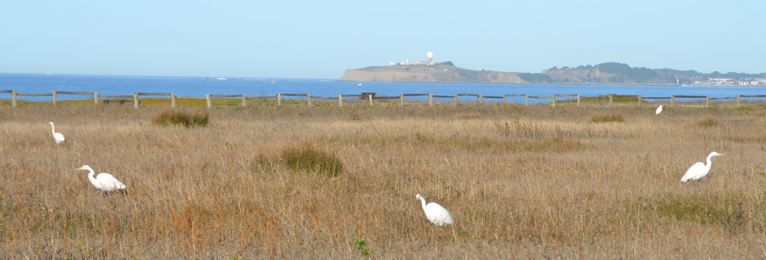
We moved to Half Moon Bay in 2008 because we loved the open space. We walk our kids to school. Nearly every day, we enjoy some part of the Coastal Trail along with stunning views of the Pacific Ocean over the bluff tops west of Highway 1. It turns out that the open space, which is the defining characteristic of our small town, is not actually Open Space, and this is where folks get confused.
While most of the land in city limits is undeveloped, open space. It is NOT in fact Open Space Preserve protected in perpetuity. To the contrary, much of the land west of Highway 1 that contributes so much to our rural aesthetic, wildlife, and erosion control, is technically zoned for development as part of something called a P.U.D, which is ostensibly a sub-division. Despite this designation, owners are effectively blocked from developing it under current land use policies defined in the General Plan and other zoning regulations. Other parcels are zoned as agricultural, regional public recreation, or urban reserve. Collectively, these constitute more than half of the land in town. So before we make any changes, we better make sure we get it right. Here is where something gets lost in translation.
The consultants were excited because in some of these plans, they increased what is technically considered Open Space Reserve. They were being responsive to the community! However, to the horror and confusion of many in the audience looking at these maps, virtually every other piece of undeveloped property is being moved into something that looks like new housing and commercial real estate. A hotel/coffee shop at the west of end of Kelly! Rezoning for Mansions on Redondo Beach! The justification for these radical changes are unclear. What is clear is that virtually every piece of undeveloped land is literally on the table. As one of the attendees pointed out, the strip of actual green space along the bluffs appear to shrink significantly in these maps.
As we work through these communication issues, we need our city leaders to help us articulate that defining vision of what we want to be 10, 25, or a 100 years from now. Without a clearly defined destination, it doesn’t make sense to pay somebody to tell you how to get there. Now is the time to take a short time out and define that vision.
If it’s an open process, you can count me in.
Rick Hernandez & Friends of the Coastal Trail will be wearing lots of orange when they attend the Planning Commission Meeting on December 9th @ the Emergency Operations Center.
 Friends of the Coastal Trail